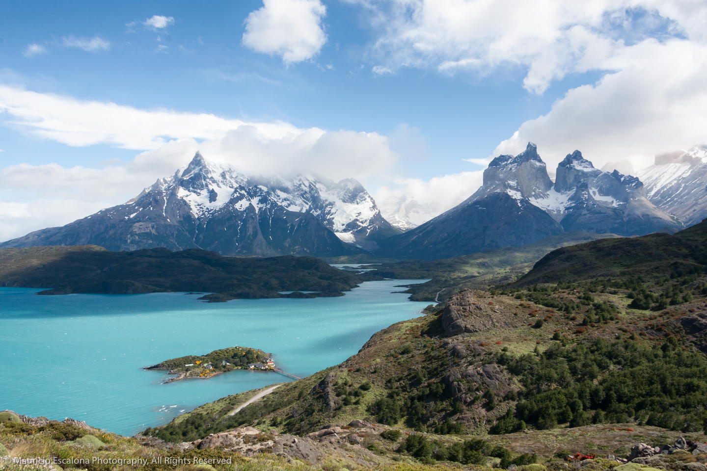
MIRADOR CONDOR THE GREAT POST This short and easy path is recommended for those who are visting the park by car, because you may achived an spectacular 360 degrees view with the Cuernos del Paine, Paine Grande and Lago Pehoé in all its glory at the top. While there is a well ndicated sign on the road access before reaching the camping Pehoe, part of this trail it was damaged by fire in 2011- 2012 and lost in moments. It is best taken from the campsite Pehoé (can ask permission to enter) in the sector that is towards the hill. Condor viewpoint -the goal of this route- clearly seen from below: it is the highest and most notorious hill, which has a pointed stone to the distance looks like a traffic cone. Once at the camping site, then the beginning is just behind the playground. The trail runs up the side to the left (north), first by these grasslands and then the burned forest. Go and watch for a pink ribbons that mark the way. After about twenty minutes of ascent you reach a small flat and then comes a final ascent. The mound is increasingly visible and the footprint will drive you to the top. Warning, because this hill ascend back up a path of loose stones. The zig zag, in about fifteen minutes, should be reached you as high of the top of the Mirador Condor. From this platform you can appreciate the magnitude of the park whose boundaries are lost to the naked eye; and also the obvious effects of the recent forest fires. From here, you may see Pehoé and Nordensköld lakes, the Hostería Pehoé, Explora Hotel, and surrounding lakes like Pincol and Negra and in general the whole system of mountains with their snowy peaks
MIRADOR CONDOR
THE GREAT POST
This short and easy path is recommended for those who are visting the park by car, because you may achived an spectacular 360 degrees view with the Cuernos del Paine, Paine Grande and Lago Pehoé in all its glory at the top.
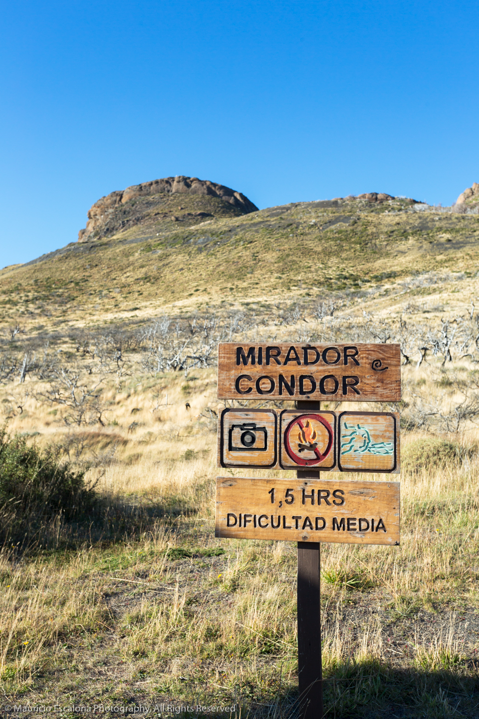
While there is a well ndicated sign on the road access before reaching the camping Pehoe, part of this trail it was damaged by fire in 2011- 2012 and lost in moments. It is best taken from the campsite Pehoé (can ask permission to enter) in the sector that is towards the hill.
Condor viewpoint -the goal of this route- clearly seen from below: it is the highest and most notorious hill, which has a pointed stone to the distance looks like a traffic cone.
Once at the camping site, then the beginning is just behind the playground. The trail runs up the side to the left (north), first by these grasslands and then the burned forest. Go and watch for a pink ribbons that mark the way.
After about twenty minutes of ascent you reach a small flat and then comes a final ascent. The mound is increasingly visible and the footprint will drive you to the top. Warning, because this hill ascend back up a path of loose stones.
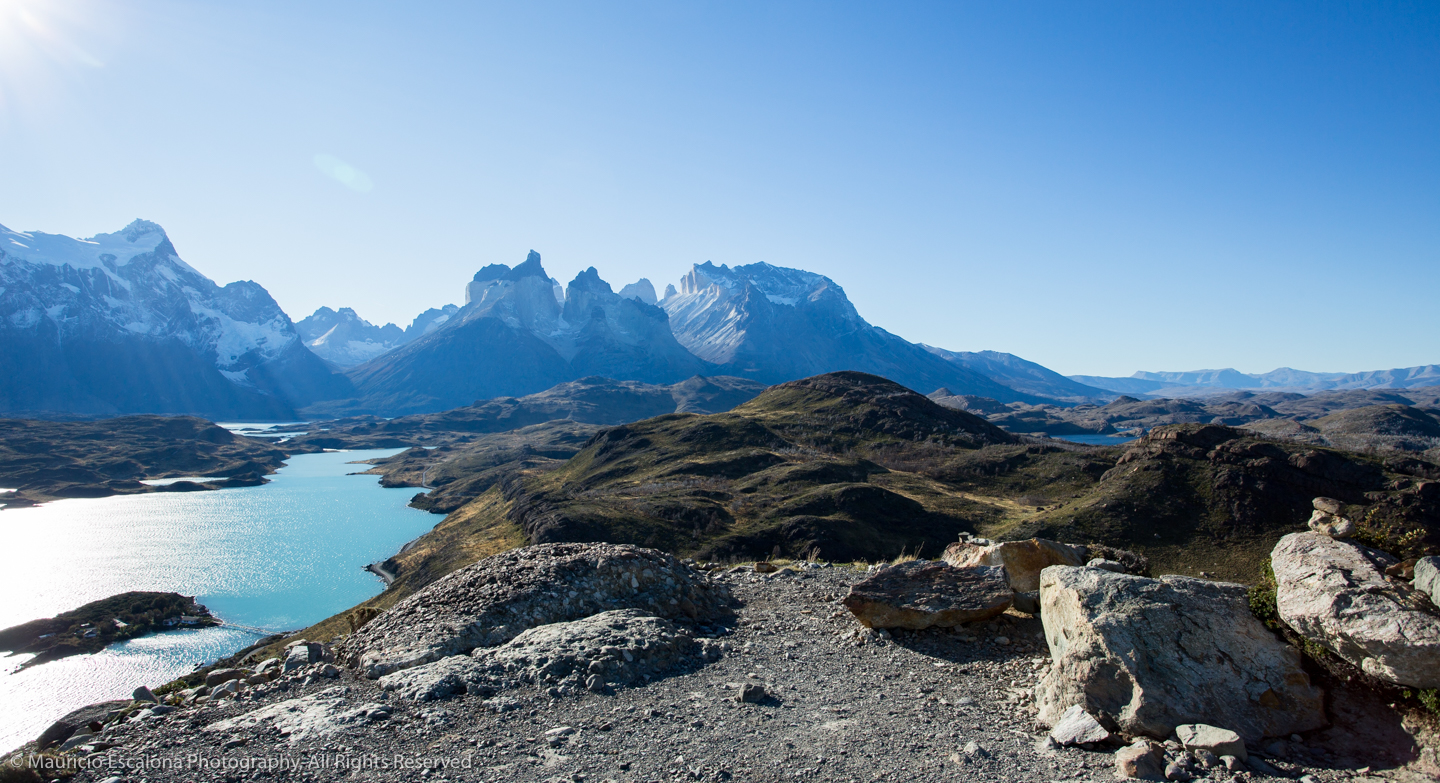
The zig zag, in about fifteen minutes, should be reached you as high of the top of the Mirador Condor. From this platform you can appreciate the magnitude of the park whose boundaries are lost to the naked eye; and also the obvious effects of the recent forest fires.
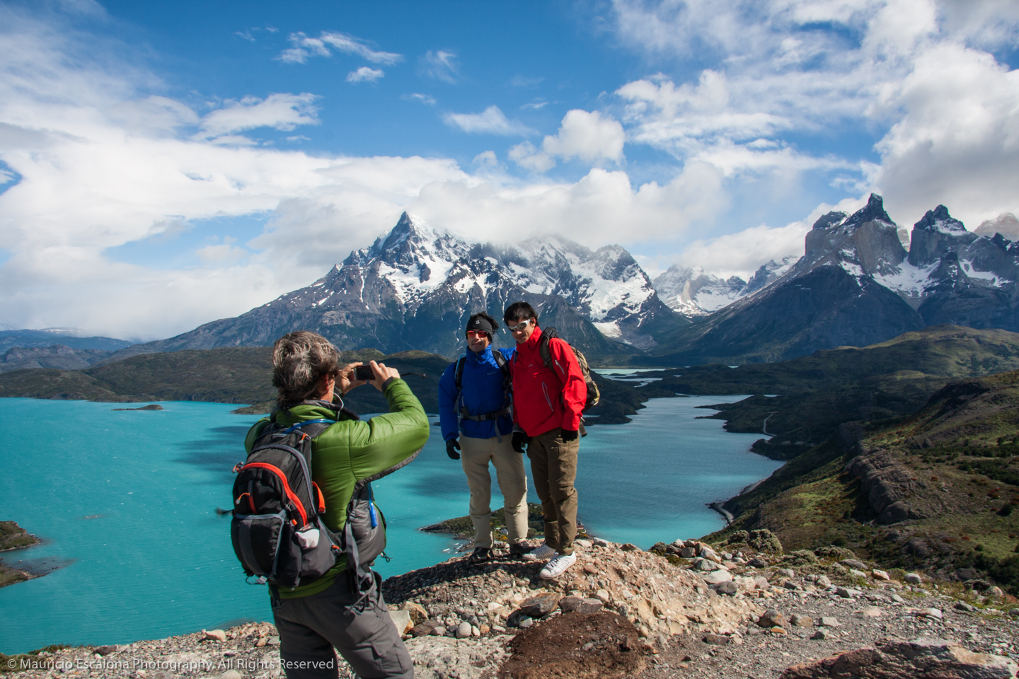
From here, you may see Pehoé and Nordensköld lakes, the Hostería Pehoé, Explora Hotel, and surrounding lakes like Pincol and Negra and in general the whole system of mountains with their snowy peaks surrounding the park. But above all, great views of the Horns are achieved and probably part of the Cerro Paine Grande, which is on one side and the highest peak of this mountain range, with 3,050 meters.
