Paine Massif Circuit This trail skirts the Paine Massif. The journey begins in Laguna Amarga towards Paine Lake to Seron Campsite, and then continues to the refuge and Dickson campsite to continue along Los Perros River up to a glacier. The next section is the area of Paso, up to Paso Campsite next to Grey Glacier. The trek continues to the south and reaches the Grey Refuge. Then surrounding the Grey Lake it reaches Paine Grande Mountain Lodge. To complete the journey there are two alternatives. The first one is to walk 18 km to the Administration Office and the second one is to take the catamaran in Paine Grande to Pudeto (20 minutes) Difficulty: medium and high Length: 120 km Duration: 7-10 days W trail This trail surrounds the Nordenskjöld Lake through Ascencio Valley up to Torres Del Paine. From there the trail continues to Los Cuernos Refuge, then Frances Valley and Grey Glacier to reach Pehoe Lake Difficulty: medium and high Length: 50, 1 km Duration: 4-5 days Trails Hosteria Las Torres – Base Las Torres Las Torres area is an excellent point of excursions, it has campsites, refuges and hostry. It is located two hours from El Chileno campsite on Base Torres trail, and from Chileno there are one hour and a half to Torres campsite. Base Torres lookout is placed one hour away from Torres campsite. The lookout has an incredible view of the base of these beautiful Rocky Mountains with its glacial lagoon. Difficulty: high Length: 9, 5 km Duration: 4, 5 hrs. Altitude: Hosteria Las Torres 190 m. – Base Las Torres 1000 m. Hosteria Las Torres – Seron In Las Torres area there is a campsite, a lodge and a hostry with good facilities. On this trail you will climb up to 400 mamsl,
Paine Massif Circuit
This trail skirts the Paine Massif.
The journey begins in Laguna Amarga towards Paine Lake to Seron Campsite, and then continues to the refuge and Dickson campsite to continue along Los Perros River up to a glacier. The next section is the area of Paso, up to Paso Campsite next to Grey Glacier. The trek continues to the south and reaches the Grey Refuge. Then surrounding the Grey Lake it reaches Paine Grande Mountain Lodge.
To complete the journey there are two alternatives. The first one is to walk 18 km to the Administration Office and the second one is to take the catamaran in Paine Grande to Pudeto (20 minutes)
Difficulty: medium and high
Length: 120 km
Duration: 7-10 days
W trail
This trail surrounds the Nordenskjöld Lake through Ascencio Valley up to Torres Del Paine.
From there the trail continues to Los Cuernos Refuge, then Frances Valley and Grey Glacier to reach Pehoe Lake
Difficulty: medium and high
Length: 50, 1 km
Duration: 4-5 days
Trails
Hosteria Las Torres – Base Las Torres
Las Torres area is an excellent point of excursions, it has campsites, refuges and hostry. It is located two hours from El Chileno campsite on Base Torres trail, and from Chileno there are one hour and a half to Torres campsite. Base Torres lookout is placed one hour away from Torres campsite. The lookout has an incredible view of the base of these beautiful Rocky Mountains with its glacial lagoon.
Difficulty: high
Length: 9, 5 km
Duration: 4, 5 hrs.
Altitude: Hosteria Las Torres 190 m. – Base Las Torres 1000 m.
Hosteria Las Torres – Seron
In Las Torres area there is a campsite, a lodge and a hostry with good facilities.
On this trail you will climb up to 400 mamsl, then down to 200 m.
The trail is marked by its pampas with Paine River on the right side.
Difficulty: medium
Length: 8,9 km
Duration: 4.0 hrs
Altitude: Hosteria Las torres 190 m. – Seron campsite 200 m.
Seron campsite – Dickson Refuge
During this trail is possible to see pampas, plains, mountains and glaciers. It has an excellent view of Paine Lake.
Difficulty: medium
Length: 18.5 km
Duration: 6.0 hrs.
Altitude: Seron campsite 200 m. – Dickson refuge 220 m.
Dickson Refuge – Los Perros Campsite
This trail goes through a Lenga forest and an awesome view of the glacier and Perros Lake.
Difficulty: Medium
Length: 8.7 km
Duration: 4.5 hrs.
Altitude: Dickson Refugio 220 m. – Los Perros Campsite 580 m.
Los Perros Campsite – Paso Campsite
Trail bound by marshland, usually covered by snow and the descent is steep.
It is an ardous trek through an area of strong winds. Paso has an spectacular view of the Grey Glacier and part of the Southern Patagonian Ice Field.
Difficulty: medium
Length: 12.0 km
Duration: 6 hrs.
Altitude: Los Perros 580 m. – Paso campsite 400 mamsl – Paso 1200 m.
Paso campsite – Grey Refuge
The trail is next to the Glacier and it has a view of the lake and icebergs.
Difficulty: Medium
Length: 10.0 km
Duration: 5hrs.
Altitude: Paso Campsite 400 m. – grey Refugio 90 m.
Grey Refuge – Paine Grande Mountain Lodge
After a steep rise the trek continues through a beautiful trail with a view of the Lake and Grey Glacier, crossing a Lenga, Coigüe and Ñirre forest, lagoons and beautiful landscapes to reach Pehoe Lake
Difficulty: Medium
Length: 11.0 km
Duration: 3hrs.
Altitud: Grey Refuge 90 m. – Pehoe 40 m.
Paine Grande Mountain Lodge – Italiano Campsite
Easy trail with a view of Cuernos Del Paine. In pehoe there is a CONAF park ranger station. Italiano campsite is only for camp, it does not have any services. It is recommended to stay at Los Cuernos Refuge.
Difficulty: easy
Length: 7.6 km
Duration: 2.5 hrs.
Altitude: Paine Grande Lodge 40 m. – Italiano 200 m.
Italiano Campsite – Britanico Lookout
It is recommended to stay at Britanico Campsite to appreciate a magic sunrise in Frances’ Valley. It has a privileged view of the mountains Espada, Hoja, Cuernos, Aleta de Tiburon and others.
Difficulty: Medium
Length: 5.5 km
Duration: 2.5 hrs.
Altitude: Italiano campsite 200 m. – Britanico lookout 600 m.
Italiano campsite – Hosteria Las Torres
This trail has an excellent view of Nordensksöld Lake and Cuernos del Paine. In Cuernos Refuge there is provision of food.
Difficulty: medium
Length: 16.5 km
Duration: 7 hrs.
Altitud: Italiano Campsite 200 m. – Hosteria Las Torres 190 m.
Other Trails
CONAF Administration Office – Laguna Verde
It begins near the administration Office or by the creek La Feria. During this trek, the trail goes through lenga forests, lagoons populated by small birds and it is possible to observe wildlife closely. The trail begins to climb to Sierra del Toro. From the top it is possible to se Cuernos Del Paine and the southern shore of Sarmiento Lake.
Villa Monzino – Paine Grande
This is an easy trek for every person. The trail goes to Las Carretas Campsite, reaching Pehoe lookout and then finish in Paine Grande Mountain Lodge. It is a privileged area of the Park because of its view.
Difficulty: Easy
Length: 16 km
Duration: 5 hrs.
Grey Park rangers Station – Zapata Lookout
This is a trail that requires a guide or a CONAF park ranger and permission from the Grey Ranger Station before starting, as this is a trail of a lot of vegetation and wildlife. It Begins from Grey Ranger Station to get to Pingo Campsite, then follows with a waterfall of the same name. Zapata lookout and campsite is located just 4 km from there.
Difficulty: medium
Length: 15 km
Duration: 5.5 hrs.
Sarmiento Entrance – Laguna Amarga Entrance
Steppe trail of medium difficulty, where it is possible to observe birds and wildlife all the way, and also cave paintings.
Difficulty: Medium
Length: 7 kms.
Duration: 2 hrs.
Salto Grande – Cuernos Lookout
Rocky trail of medium difficulty due to strong wind in that area.
Difficulty: Medium
Longitude: 4 km
Duration: 1 hr.
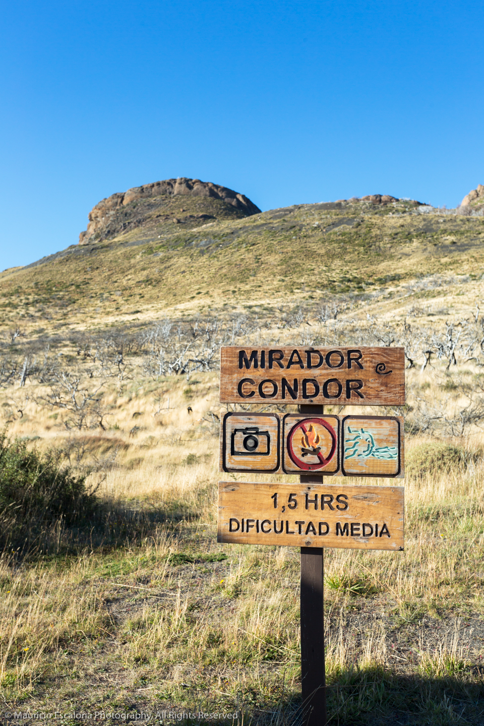
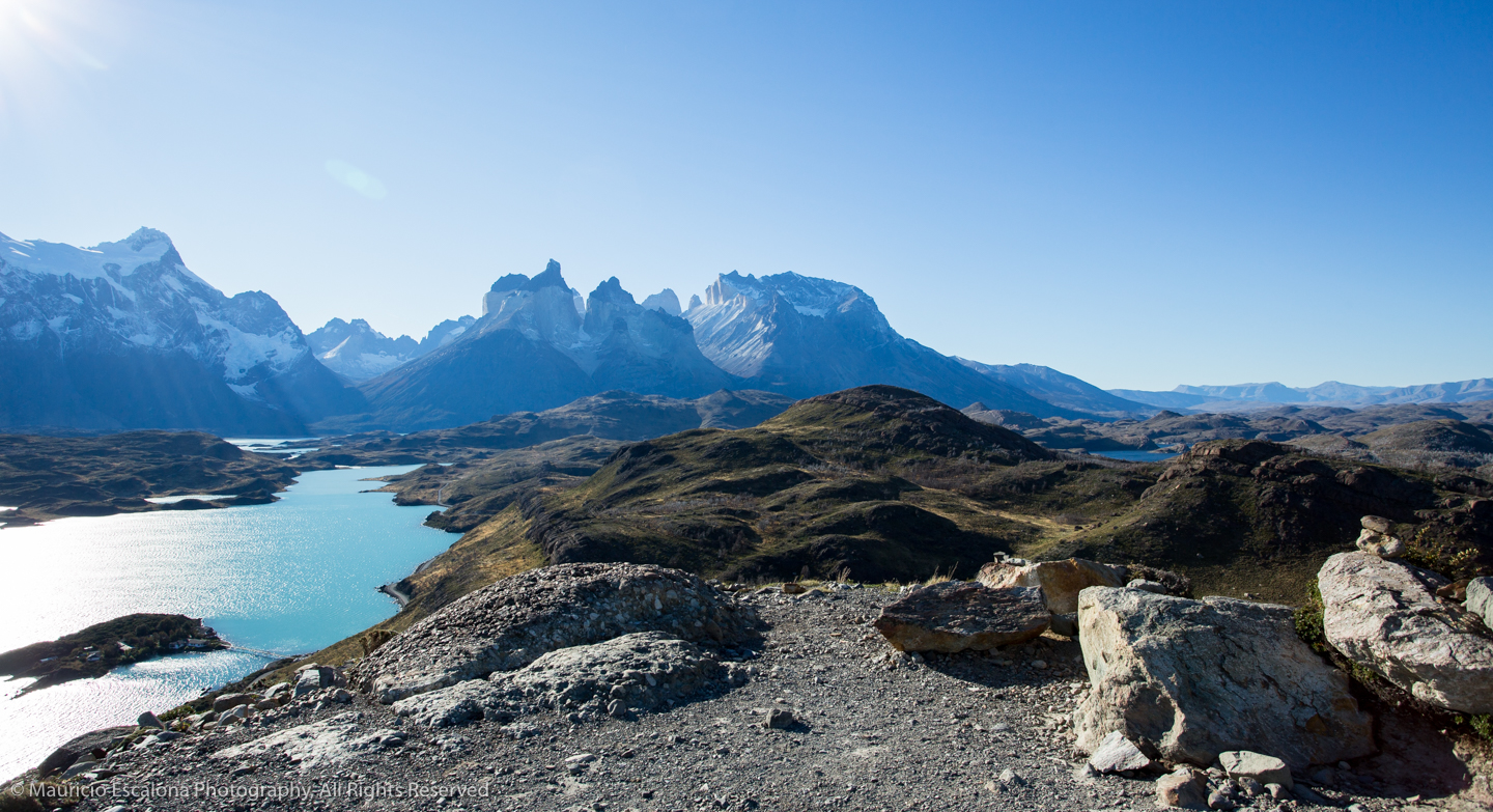
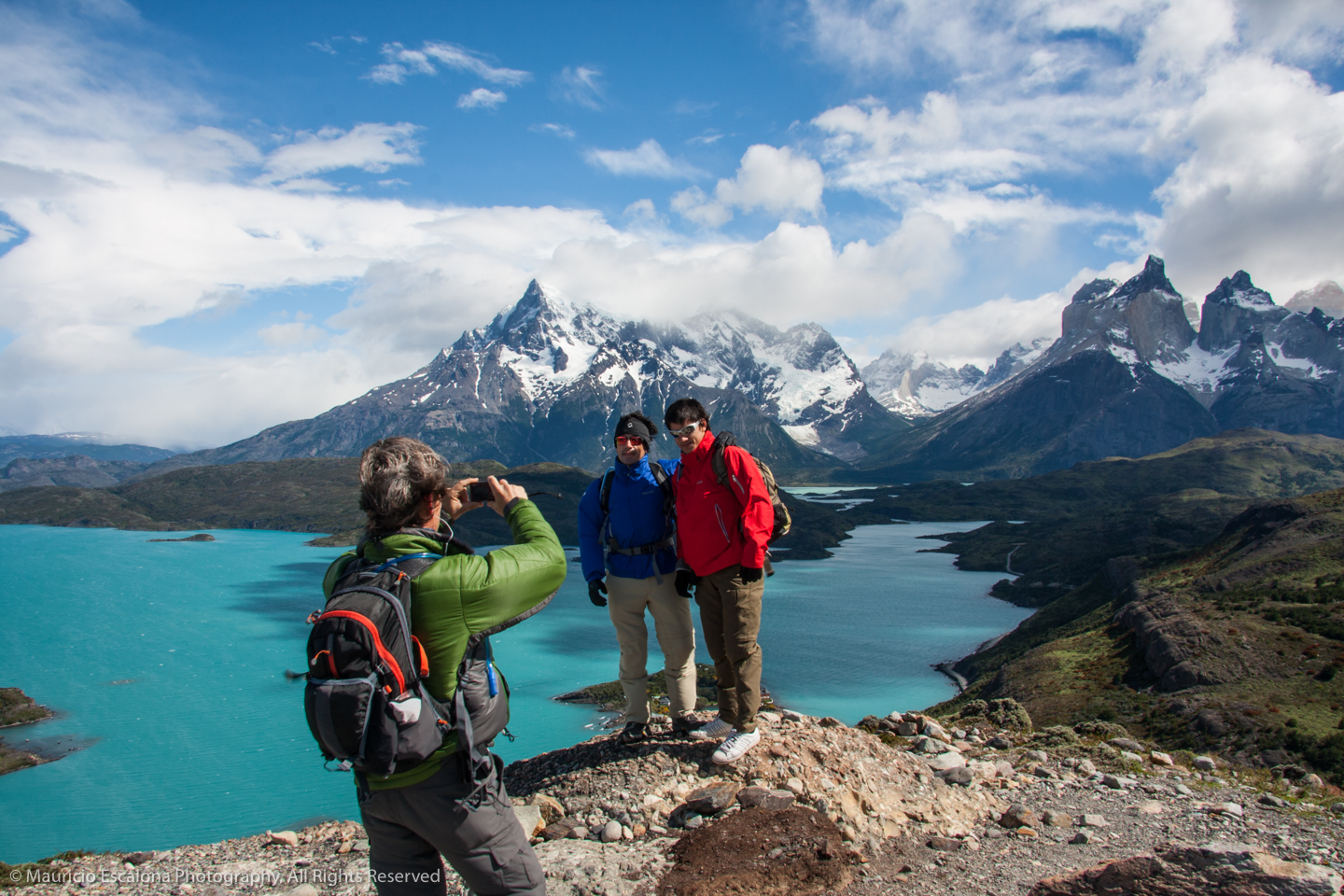
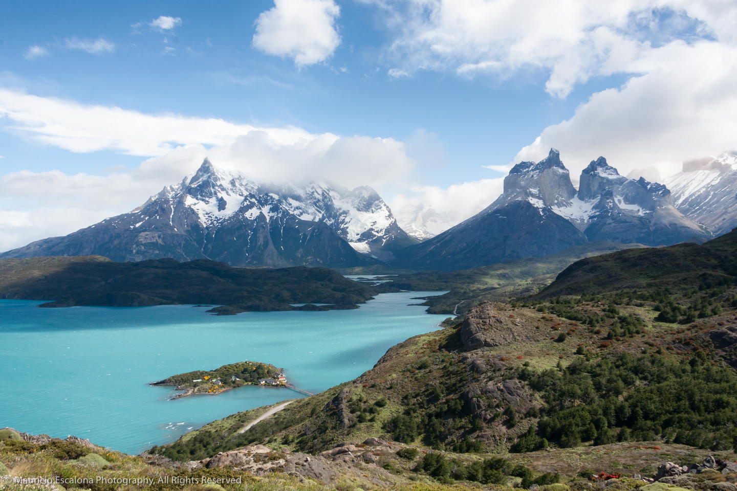
Camping Pehoé – Mirador del Condor
Wonderful view of the Paine Massif and Pehoé Lake.
Difficulty: Easy
Length: 2.5 km
Length: 40 min.
* Before starting any of these walks NOT forget to check the condition of the trails and difficulty with the rangers
Source: www.conaf.cl


